126
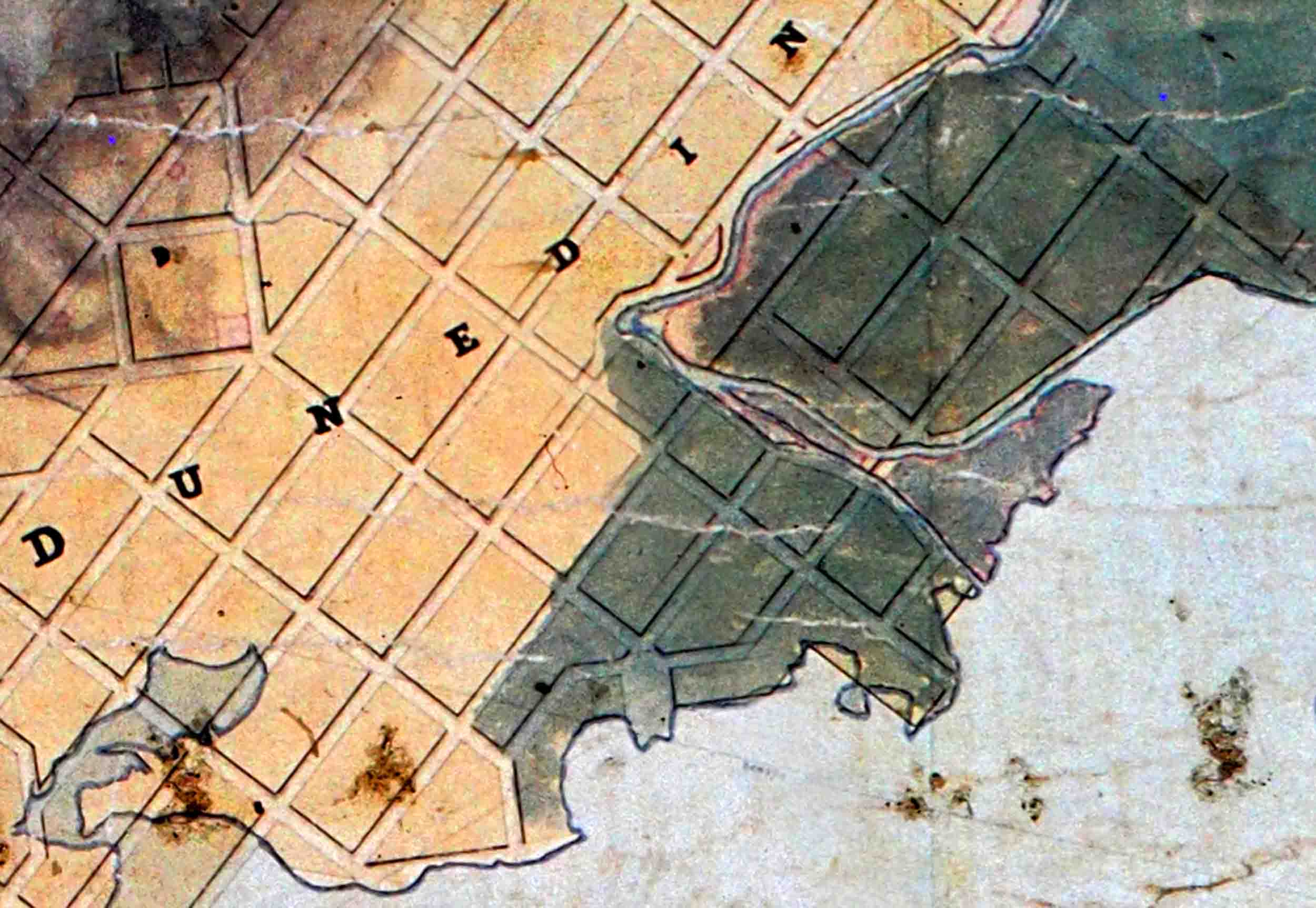
A portion of ‘Kettle’s 1847 map, ‘Otago Land District SO 6’, showing the ‘Leith Delta’. The green shading is interpreted as mostly ‘bush/forest’.

A portion of ‘Kettle’s 1847 map, ‘Otago Land District SO 6’, showing the ‘Leith Delta’. The green shading is interpreted as mostly ‘bush/forest’.

From New Zealand. Traveling the weyward path trying to figure out how the world works. I study fossil plants, past climates, travel, walk, hike, read, take photos, struggle with computer graphics and plant trees.