
109
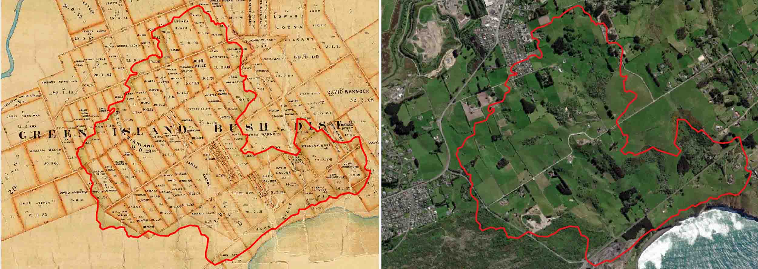
Left: Green Island Bush, outline in red, overlain on the Crown Grant Index Record Map, 1859 (R10302766: Archives New Zealand/Te Rua Mahara o te Kāwanatanga, Dunedin Regional Office.). Right: the same red outline of Green Island Bush overlain onto ESRI Satellite imagery.