
Travelling from Sydney up to Brisbane, through the lowlands, across the wetlands, crossing rivers, seeing tree ferns – I can’t help thinking – couldn’t our drier New Zealand forests live here? We know a lot of New Zealand’s biota probably came from Australia, but could any of it go back?!
New Zealand and Australia seem so different – kangaroos, snakes, highly flammable eucalypt forest, and with a bipolar climate, the country seems to be either in drought or flood. And yet, New Zealand is clearly a refuge for some things that used to be common in Oz. That is, they’ve gone extinct in Australia, likely as a result of that crazy environment, but hung on in New Zealand, because we remained relatively mid.
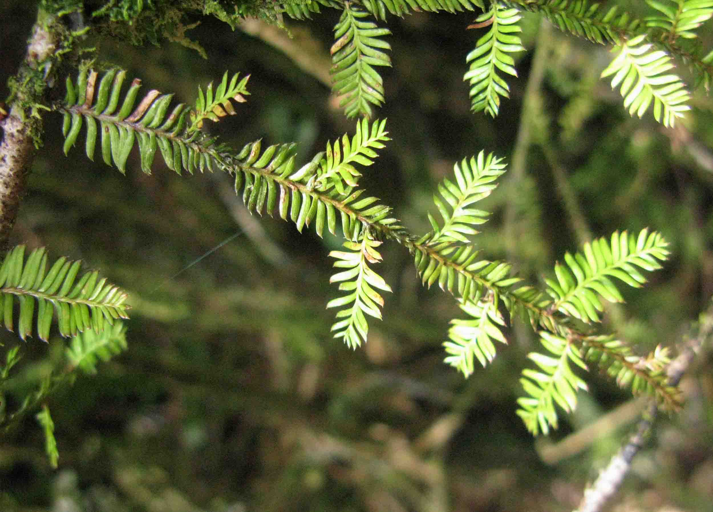
As I sat on the train, I specifically wondered about one of New Zealand’s trees – the kahikatea (Dacrycarpus dacrydioides). A related species certainly grew in Australia until relatively recently. For example: a drillcore taken offshore of Cairns turned up fossil pollen of either kahikatea (or a close relative), as well as rimu (again, perhaps a close relative, but the authors, Kershaw et al., 1993, did link it with the NZ species, Dacrydium cupressinum). The pollen grains are only a few hundred thousand years old, but if a modern-day New Zealander were to see the original trees, it’s likely they would recognise them. On-land, Peter Kershaw and co-authors (e.g. Kershaw et al., 2007) have shown that ‘rimu’ was once a consistent component of rainforest on the Atherton Tableland.
The disappearance of kahikatea and rimu from Australia happened as Earth’s climate had started to markedly oscillate as it entered the Glacial-Interglacial cycles. Kershaw et al. (1993) noted “The critical factor may have been either low precipitation during cool periods or increased temperatures during “interglacials” and physiological experiments on living examples of these conifers has shown them to be relatively susceptible to drought (Brodribb and Hill, 1998; Brodribb, 2011).
Kahikatea is one of a trio of conifers, including matai and totara, that often grow together in New Zealand’s driest forests. It may have gone extinct during a particularly harsh past climate climate in Australia. But what about now? Have any parts of Australia returned to kahikatea-favourable climates? Surely parts of western Tasmania today would be suitable – but what about those eastern lowlands?
Nowadays, climate data are readily available. For small patches of the globe, it’s possible to get (free) a whole range of climate averages – temperature, rainfall, and from them, one can calculate more complicated measures, like evaporation. Likewise, precise location data for different species have become easier to obtain, and climate for any of those spots can be found.
This means that figuring out what climate a particular species best grows in – it’s niche, or what its climate limits are, is becoming achievable. We can now see if a species’ climate niche exist somewhere else – somewhere where it’s not, or perhaps waiting to be found.
There are a couple of (free) programmes that can help with this. I’m not an expert in either, but just struggling through them, learning on the fly. One is QGIS – a programme that can be used to investigate climate data, and map them. You could ask it, for example, to show you all parts of the world that have summers warmer than 20C, and more than 100 mm of rain.
Kahikatea does well on river floodplains. In fresh silt deposits its seeds can germinate en mass and create even-aged stands of forest. But these are exactly the locations where a later change in river channel can flood the stand. Kahikatea can deal with that, and the result is a picturesque image of trees growing in standing water. So kahikatea has become rather famous for growing in wetlands. But it doesn’t only grow on floodplains, and it’s also one of New Zealand’s driest-ranging conifers (totara probably beats it). Small patches of bush with kahikatea trees remain in a few places on the dry Canterbury lowlands. They are places where the bush has survived early Polynesian fires, as well as European fires, milling, and general clearance. That is, kahikatea likely extended into even drier areas in the past. I got most kahikatea distribution data from the GBIF database, but to this I added the driest locations from Kelly (1972), a survey of Scientific Reserves in Canterbury. These include places like Deans Bush, Christchurch, Talbot Forest in Geraldine, Mount Nimrod, and the Kahikatea Walk in Peel Forest. There’s also Waimate Bush and Papanui Bush, where stands of kahikatea were eliminated by fire in the 19th century. Some of these locations, like Deans Bush, are in alluvial situations with some ground water below the surface. But others, like Talbot Forest are on the slopes of basement rock, and Waimate Bush was on a loess-based terrace.
Does temperature limit kahikatea? The natural tree-line is somewhere beyond the absolute cold-limit of kahikatea – kahikatea is below that. At the other extreme, there is no sign in New Zealand of any warm-limit. Kahikatea is abundant all the way to the north of New Zealand, where land simply runs out. There will be some sort of limit to the north, as conifers are absent from tropical lowlands.
But here I’m not so concerned with temperature-limits, but in the moisture limits of kahikatea. Rain (essentially (Precipitation – P) cannot be treated as a factor independent of temperature, and knowing that, climatologists and ecologists have come up with some more complicated measures by which one might approximate the moisture-limits of kahikatea.
The first climate measure is the Vapor Pressure Deficit (VPD) – the ‘atmospheric demand’, or ‘the thirst of the atmosphere’. Thirstier atmospheres have higher numbers – for example,’ Hokitika is about 0.38, Alice Springs about 2.06, while Riyadh comes in at 3.4. A very thirsty atmosphere will quickly suck the moisture out of a vulnerable plant. Specifically, here, I’m looking at the VPD during what I’ll define as the ‘Growing Season’ (October-March).
The second is Potential Evapotranspiration (PET) – it’s the amount of moisture that could be evaporated or transpired through plants. Precipitation minus Potential Evapotranspiration (P-PET) gives the ‘Water Balance’ or ‘Climatic Moisture Index’. The annual Precipitation minus the annual PET gives an indication of the long-term supply–demand balance of moisture for a locality
Either or both of these measures might be responsible for the dry-limit of kahikatea. The basic idea is to find what those values are in the driest kahikatea locations in New Zealand, then see where those values are in Australia. In theory, anywhere with a lower VPD, or P/PET would be no drier than the driest kahikatea sites.
In practise, I’ve looked for the areas where the growing-season VPD, and the P-PET are both suitable, as well as temperatures being less than that at the tree-line. I tried two different sources of VPD – one supplied by TerraEarth, the other calculated by me from WorldClim data.

Places in New Zealand, Australia and islands to the north, which may be moist enough for kahikatea to live. The yellow distribtion is based on VPD caluculated from WorldClim data, and the more restricted green is based on VPD from TerraEarth. The map at right is an enlargement of the area indicated by the small rectangle on the left. Image, the author (Mike Pole).
Both methods suggest the climate is wet enough for kahikatea in much of Tasmania. On mainland Australia, large patches are predicted in Gippsland, eastern Victoria, smaller patches in eastern NSW, like parts of the Illawarra, and Dorrigo, and, just over the QLD border, tiny spots around O’Reillys, In NE Queensland, suitable spots are mostly just the peaks of Bellenden Kerr, Bartle Frere, and Thornton Peak. However, the calculations based on the VPD from TerraEarth predict significantly smaller climatically suitable areas than those based on my VPD. As the more restricted results, TerraEarth results can be considered the most conservative, or realistic.
Incidentally, the spot where I really started to wonder about all this, was around Maclean, on the Clarence River. Its intricate system of channels, floodplains and lakes just seemed to scream out ‘kahikatea!’ But no, it’s well-out of climate range, by either calculation. Even the patch of dry rainforest at Wingham Brush is too dry for kahikatea. Keep in mind, kahikatea is ‘mid-range’ of the dry forest species in New Zealand. Totara can tolerate drier conditions, so it’s potential Australian range would be somewhat broader than kahikatea, while that of matai would be more restricted. But those three key components of New Zealand’s dry forests would probably still find parts of Australia, wet enough to grow in the wild.
But, even with a suitable climate, could kahikatea grow in Australia? Fires will have fragmented, or removed entirely, many of those climatic islands. On top of that, the fresh soils and ecological regimes favoured by kahikatea, like braided river floodplains, don’t coincide with the right climate in Australia. The areas where kahikatea might realistically exist, are either absent, or small enough that it would be highly sensitive to contingency – the odd extreme event.
The extinction of kahikatea was likely caused by drying (Brodribb and Hill, 1998; Brodribb, 2011), which fragmented its range, and further fragmentation by fires, added to a general lack of appropriate soils and landscape position, and probably just some bad luck.
Technical Stuff
a) Programmes
I used the Free and Open Source QGIS: QGIS.org, 2026. QGIS Geographic Information System. QGIS Association. http://www.qgis.org
b) Present-day kahikatea (Dacrycarpus dacrydioides (A.Rich.) de Laub.) location data comes from GBIF: GBIF.org (26 September 2024) GBIF Occurrence Download https://doi.org/10.15468/dl.7r39x3. To this, I added Waimate Bush and Papanui Bush – where kahikatea grew, until removed by fire and axe in historical times. These are the driest localities. I applied no percentile methods to remove outliers – as this would have removed those very driest sites that are the most revealing about the true dry limits of kahikatea. Fire has already removed the outliers.
c) Gridded climate data comes from WorldClim 2 (Fick and Hijmans, 2017).
d) Constructing a Tree-Line Mask. Generally, the tree line approximates where the average temperature of the warmest month is less than about 10C (the details are subject to debate). Using Worldclim 2.1 data, I found that the average temperature (Tavg) of the warmest month (I tried Jan and Feb) being >= 10C was not a good fit (it includes many mountain tops), but the average temperature of February (Tavg2) being >11 C did produce a reasonable fit, so I used that.
e) Modern distribution of kahikatea comes from GBIF.org (26 September 2024) GBIF Occurrence Download https://doi.org/10.15468/dl.7r39x3
Dryland kahikatea locations also dome from Kelly (1972) and more were added in manually for Papanui and Waimate.
f) Vapour Pressure Deficit (VPD)
Globally gridded values for VPD are available from TerraClimate, and I also calculated myself, using WorldClim data:
VPD=(0.6108* exp((17.27 * Tavg)/ (Tavg + 237.3)))- VapPress
In both cases, I used the mean VPD for October–March, taken to be the growing season.
g) Potential Evapotranspiration (PET)
PET can be calculated from basic WorldClim data (the monthly average, max and min, monthly solar radiation) and the Hargreaves constant.
h) ‘Water Balance’ or ‘Climatic Moisture Index’ P-PET
This gives an indication of long-term (annual) moisture balance. For the survival of tree species, this is probably more realistic than monthly values.
References
Brodribb, T. J. 2011. A functional analysis of podocarp ecology. In B.L. Turner and L.A. Cernusak (Eds.), Ecology of the Podocarpaceae in Tropical Forests, Smithsonian Contributions to Botany, No. 95. (pp. 165-173). Washington, D.C.: Smithsonian Institution Scholarly Press.
Brodribb, T.J., and Hill, R.S. 1998. The photosynthetic drought physiology of a diverse group of Southern Hemisphere conifer species is correlated with minimum seasonal rainfall. Functional Ecology, 12: 465-471.
Fick, S.E. and Hijmans, R.J. 2017. WorldClim 2: new 1km spatial resolution climate surfaces for global land areas. International Journal of Climatology, 37: 4302-4315.
Kelly, G.C. 1972. Scenic Reserves of Canterbury, Biological Survey of Reserves, Report 2. Botany Division, DSIR, NZ.
Kershaw, A.P., Bretherton, S.C., and van der Kaars, S. 2007. A complete pollen record of the last 230 ka from Lynch’s Crater, north-eastern AustraliaPalaeogeography Palaeoclimatology Palaeoecology 251:23-45. DOI:10.1016/j.palaeo.2007.02.015
Kershaw, A. P., McKenzie, G.M., and McMinn, A. 1993. A Quaternary vegetation history of northeastern Queensland from pollen analysis of ODP Site 8201. Proceedings of the Ocean Drilling Program, Scientific Results, 133: 107-114.
McGlone, M.S., Richardson, S.J., Burge, O.R., Perry, G.L.W., and Wilmshurst, J.M. 2017. Palynology and the Ecology of the New Zealand Conifers. Frontiers in Earth Science, 5, Article 94 doi: 10.3389/feart.2017.00094.
New M, Hulme M, and Jones P 1999. Representing twentieth century space-time climate variability. Part I: Development of a 1961–90 mean monthly terrestrial climatology. J Climate 12:829–856
New, M., Lister, D., Hulme, M., and Makin, I. 2002. A high-resolution data set of surface climate over global land areas. Climate Research, 21: 1-25.
Kershaw, A. P., McKenzie, G.M., and McMinn, A. 1993. A Quaternary vegetation history of northeastern Queensland from pollen analysis of ODP Site 8201. Proceedings of the Ocean Drilling Program, Scientific Results, 133, 107-114.
New M, Hulme M, and Jones P 1999. Representing twentieth century space-time climate variability. Part I: Development of a 1961–90 mean monthly terrestrial climatology. J Climate 12:829–856
New, M., Lister, D., Hulme, M., and Makin, I. 2002. A high-resolution data set of surface climate over global land areas. Climate Research, 21, 1-25.